
GIS Consulting
Specialized GIS consulting services and analysis help you identify and solve the hidden geospatial factors that complicate asset management decisions.
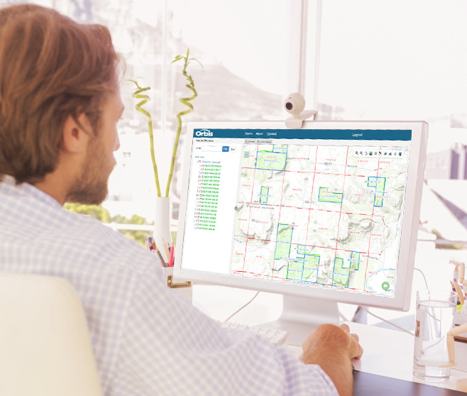
Everything You Can’t See on a Map
Managing land assets is easier when you can accurately see and account for what you are managing. But to do that, you need a GIS system that follows best practices around spatial analysis, mapping and database integration – and a team of GIS consulting experts who know how to implement every one of them.
At Orbis, our GIS consulting services team includes GIS Professionals (GISP), Microsoft Certified Professionals (MCP) and Professional Land Surveyors (PLS) who work to help you better understand the environmental, social, geotechnical and contamination issues affecting your assets. All so you can make more accurate decisions about managing them.
Our GIS Consulting Process
- Needs assessment
- GIS implementation
- Business process analysis
- Data analysis
- Enterprise data model (EDM)
Understanding GIS Consulting Services
GIS consulting for land management is the outsourcing of mapping, modeling, and analyzing location-based datasets to better visualize land characteristics data in a way that provides unique analytical insights regarding the asset.
Orbis’ GIS consulting services focus on delivering new knowledge to the timberland investment community on the land they own and manage, or potential assets they intend to purchase. Investing in GIS consulting allows you to make informed decisions based off data unavailable without a complex GIS analysis.
Who We
Work With
Orbis GIS consultants bring deep, functional expertise to any project that requires a sophisticated spatial analysis. This includes applications for businesses in:
- Natural resources
- Forestry
- Utility
- Sales groups
- Urban planning agencies
- Health and human services groups
- Public safety officials
- Water/wastewater departments
- Oil and gas exploration
- Government/DOT
What We Do Best
Orbis provides services for both large, ongoing GIS analysis projects and point-in-time solutions for when data must be captured in a single instant or snapshot.
- GIS analysis
- GIS mapping
- GIS database management
- Data interpretation and integration
- Application development
- CAD data conversions

Let’s Work Together
Orbis GIS consultants can help you make better sense of the geospatial environment around your assets. Request more information or book a consultation today.