
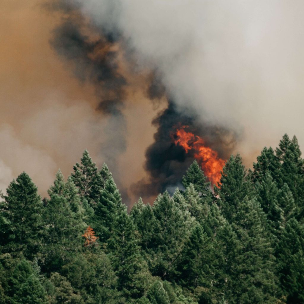
An average of 100,000 wildfires destroy four or five million acres of land in the United States every year, according to National Geographic. Heat, drought, strong winds and frequent lightning strikes create ideal conditions for these raging fires that are most plentiful out West. While wildfires play a vital role in the growth of forest ecosystems, their destruction also poses a threat to wildlife, plant life and humans, which is why the movement of wildfires needs to be closely monitored.
The process of monitoring and determining the location of these forest fires has come a long way since the fire lookout tower system common in the 1900s. Today, thanks to years of technological advance, remote sensing systems are now used to monitor and map the location of forest fires. Through this practical application, GIS is used as a powerful tool for mapping the spatial distribution and spread of active fires. Additionally, GIS features can be used in more specific ways such as fuel mapping*, as well as tracking weather conditions and fire danger ratings. Destruction of wildlife habitat, property damage, loss of recreation value, and loss of timberland are all consequences of forest fire, demonstrating the importance of paying attention to active fires.
Here at Orbis, we are able to provide our FIP clients with access to live GIS data regarding forest fires by integrating forest service and weather service data into our web-based program. The FIP application consumes these LIVE layers and applies them in the forest management module. A benefit of having LIVE data within a cloud-based application is that there is no need for manual data entry to keep the information maintained, since it is being updated in real time. Other LIVE data we incorporate into FIP includes weather data, parcel data and LIVE species data. By providing our clients with LIVE fire data, Orbis hopes to keep foresters safe and informed about dangers on their land so that they can ultimately prevent loss of life and minimize their property damage.
*Fuel- dead surface biomass that increases the spread of wildfire (branches, foliage, etc)

Let’s Work Together
Orbis helps you make better sense of your assets, and better use of everything involved in managing them. Request more information or book a consultation with us today.