
From piles of stones to roads and streams, from iron pipes to locust trees, historic land deeds frequently used these types of monuments to establish property corners and boundaries.
All fine and good until…
…the stones sink into the ground, the iron pipes are unearthed, and the trees die, or get harvested.
With this type of historical metes and bounds survey, the accuracy of the land measurement could easily be in question.
But what do land measurements from Colonial times (or even from just a few decades ago), historic land deeds, and shifting landscapes have to do with timberland investment assets today?
Let’s just say there’s a potential cause-and-effect relationship that goes something like this:
If a land deed (historic or not) is inaccurate in any way, what the Real Estate Investment Trust (REIT) or Timberland Investment Organization (TIMO,) thinks it owns or intends to purchase may or may not) be exactly what is recorded.
Even worse?
It can slow down or even stop the closing transaction.
Before we get into the details of the types of measurement errors, let’s look at some ways to identify errors just by examining the land deed.
Here are some of the most common “red flags” contained within our nation’s historical land deeds, as well as how they may point to potential errors:
- The deed is written in 10ths of a perch or pole, meaning it could contain measurement and/or rounding errors.
- The deed refers to Wing’s Chain, Pennsylvania Chain, or Rittenhouse Chain, which means it wasn’t measured using the then-standard Gunter’s Chain and could contain measurement errors, calculation errors, or both.
- The deed is ambiguous or vague; so much so that it is not clear exactly where any or all of the boundaries were or are. (the intent of the deeded description/survey is not clear)
- The land boundaries, when retraced today based on the historical deed, do not form a geometrically closed figure, alerting the buyer or seller to potential trouble with the asset boundary or boundaries.
meas·ure·ment (meZHərmənt/):
the dimension, size, extent, proportion, length or magnitude of something
We talked a little bit in this post about measurement errors as they relate to the timberland industry, but here’s a more detailed list of four seemingly small errors that can have a huge impact on the buy/sell transaction.
Error #1: Measurements & Mathematics
If early surveyors recorded their distance measurements as whole numbers in chains, there’s a strong chance that the rounding up or down of the measurements over thousands or hundreds of thousands of acres could significantly impact asset size and market value. Then there’s indirect measurement, horizontal and vertical planes, and a host of other distances, angles, and equations requiring known distances and angles for proper calculation. Bottom line? Especially for land surveyed infrequently and long ago, the measurement could be off, and the math could be wrong.
Error #2: The Human Factor
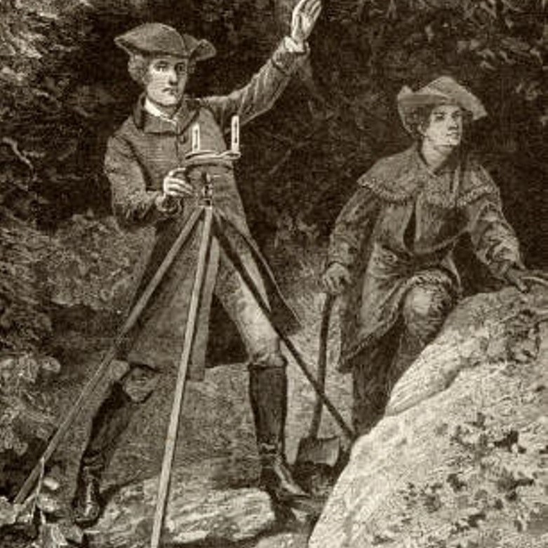
Early surveying teams did physical, “boots-on-the-ground” measurements using Gunter’s Chain, marking pins, and tallies. Like all human-based methodologies, the possibility of miscounting inherently exists. Add in the potential for transposing numbers or misplacing a decimal point, and it’s easy to see that errors somewhere, somehow, surely must exist.
Error #3: Instrument Issues
Compass direction was (and still can be) a tricky thing. Bearings and degrees, True North vs. magnetic north. Then there’s the question of setting up, calibrating, and using the instrument properly, not to mention equipment failures, and normal wear and tear. Rustic, Colonial-era field conditions aside, instrumentation was far from sophisticated compared to today’s high-tech aerial photography, GIS, and GPS.
Error #4: Field Conditions
Slope distances, missing markers, alterations to the landscape. The only constant is a decades-old deed. Trustworthy? Perhaps. Perhaps not. The only way to be sure is to undergo a systematic retracing of the measurements, and corrections to any miscalculations.
Did you know?
How much did you know about measurement errors, early land deeds, and historical surveying? Does what you’ve read here alter your perspective in any way?
We’d love to hear from you. Please share your thoughts or post your questions in the comments.
This post is part 3 of our 5-part series on historical land measurement and its impact on timberland investment assets today. Find the other posts in the series here:

Let’s Work Together
Orbis helps you make better sense of your assets, and better use of everything involved in managing them. Request more information or book a consultation with us today.